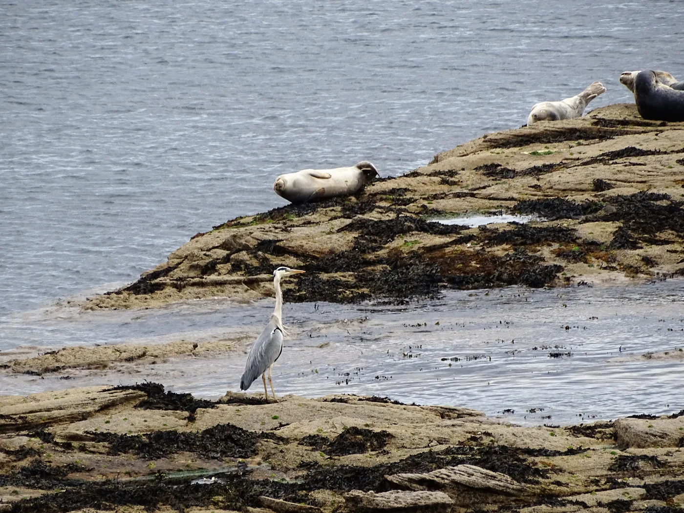

A wildlife group wants the new St Mary's Island causeway built lower, so the tide cuts the island off for longer. No consultee objects; decision by 12 November.
A local wildlife group has asked North Tyneside Council to rebuild the St Mary’s Island causeway lower than the one it replaces. A lower crossing would be covered by the sea for longer each day, giving birds and seals more time without people on the island.
The St Mary’s Island Wildlife Conservation Society made the case in a letter now published on the planning register for the council’s application, 26/01282/FUL. The scheme would break out the 1960s concrete causeway and recast it on the same line, closing the island to visitors from 1 May to 31 August 2027 (our report on the plans).
“A once in a life time opportunity”
The society says it supports replacing the causeway. Its objection is to the height. It says the current structure “has fundamentally altered the island’s natural tidal behaviour” because it lets people cross for far longer than the tide naturally would.
That, the society argues, removes the quiet periods that roosting and feeding birds and hauled-out seals depend on. It asks whether a lower rebuild was ever considered, and if it was, why it was dropped.
According to the society’s letter, a causeway built “no higher than necessary” would:
- still meet safety requirements
- help the scheme’s biodiversity net gain and coastal mitigation targets
- cut long-term maintenance costs
- bring back a more natural tidal cut-off, with fewer people on the island at sensitive times
- recreate an offshore refuge for wildlife
- let the coastline behave more naturally
“This is a once in a life time opportunity to restore what has been lost,” the letter says. It is signed by the society’s chair, Sally Bennett.
What the plans actually propose
The council’s environmental statement does not look at a lower causeway. Its chapter on alternatives describes two options: breaking out and recasting the causeway, which was chosen, and burying it under concrete between banks of permanent rock armour, which was rejected as more damaging to the habitat (non-technical summary, issue 3).
The summary calls the new structure “comparable in size and height to the existing causeway, with existing patterns of tidal restrictions on access retained.” It also says the rebuilt causeway will be slightly wider. Its coastal processes section expects a “small reduction” in how much the causeway is covered by the sea, with “very minor changes” to when water and waves pass over it.
In other words, the plans as submitted would not shorten the crossing window. If anything, the record points the other way, if only slightly.
What the official consultees said
The planning register lists 15 consultees, of whom five had responded by 17 October. None of the published responses objects:
| Consultee | Response |
|---|---|
| Northumberland Wildlife Trust | No objection, but wants the mitigation made planning conditions |
| The council’s coastal management team | No objection, subject to one clarification on boulders |
| Lead Local Flood Authority | No objection |
| Historic England | Not offering advice; refers the council to its own conservation advisers |
Northumberland Wildlife Trust says the design work shows “due care” and accepts the need to end “the reactive repair cycle” on the old causeway. It asks for the May to August working window, the construction and pollution plans and the monitoring programme all to be conditioned. It also wants a biosecurity plan that covers bird flu, locally sourced boulders that match the rock already there, and surveys after the work to check marine life recovers.
The trust warns that some of the smaller boulders planned for new rock-pool habitat “are likely to easily shift in storm conditions”.
The council’s coastal management team raised a related point. Some boulders appear to be planned against the beach access steps and the Trinity Road sea wall, which it calls “an important sea defence structure”. It has asked for detail on boulder sizes and on how movement and scour at the wall would be prevented, describing the spot as “a very exposed location”.
Historic England says its decision not to advise “should not be interpreted as comment on the merits of the application.”
No response from Natural England or the Marine Management Organisation, both consulted on 17 September, had been published by 17 October. The work below the high-water mark also needs a marine licence from the Marine Management Organisation. One member of the public has commented, recorded as neutral.
What it means for you
- Nothing changes yet. The island and lighthouse stay open as normal, tides permitting.
- The decision is due by 12 November. The register lists it as a delegated decision by officers, so it is not expected to go to the planning committee. The press and site notices expired on 15 October.
- Summer 2027 is the closure. If the plans are approved as they stand, the causeway shuts from 1 May to 31 August 2027 while it is rebuilt.
- Check before you cross. The causeway is covered twice a day, so check the tide before you set off. Our things to do in Whitley Bay page has the lighthouse prices.
We will report the decision, and any reply to the society’s question about height, when they appear on the register.
Have your say